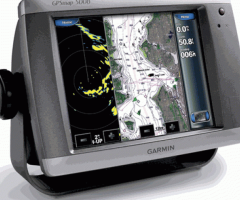
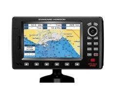
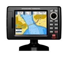
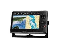
Description
Product Features and Specifications (Projected):
Includes WAAS-enabled, 12 parallel channel GPS sensor with 30 ft. cable length
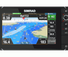
New streamlined user interface offers easy selection of functions and features
View weather overlays such as NEXRAD weather radar and forecasts, current conditions, wind direction, wave direction, wave height, buoy data, lightning, county warnings and much more with the optional GDL 30 or GDL 30A
Fresh new design that has a “flat panel” look when flush mounted
Single SD memory card slot for BlueChart g2 Vision cards, as well as saving waypoints, routes and tracks to a SD card which can be shared with others
Backlit keypad for easier operation at night
Auto-dimming display
Three built-in network ports for connection to a Garmin radar, GDL 30/30, GSD 22 sounder, or another MFD
Compatible with all Garmin Marine Network peripherals
Two video inputs for onboard cameras – supports PAL & NTSC video signals
Four NMEA 0183 inputs and two NMEA0183 outputs – supports both AIS and DSC
Supports NMEA 2000
Alarms for anchor drag, arrival, off-course, proximity waypoint, clock, low battery voltage and GPS accuracy
Waterproof: IPX7 – submersible
Power down backup of settings: Tiger GPS customer settings are not lost when the unit is turned off
Enable the full functionality of the GPSMAP 5000-series with the addition of a BlueChart g2 Vision SD card
BlueChart g2 Vision cards provide:
High-resolution satellite imagery when overlaid on the chart, will provide the mariner with unparalleled situational awareness
Aerial reference photography provides “real world” photos of ports, harbors, marinas, waterways, navigation landmarks and other points of interest, offering the mariner another powerful tool for navigating unfamiliar waters
Mariner’s Eye view – Provides the mariner with a 3-D perspective of chart information for a quick, reliable and easy position fix.
Fish Eye view – 3D perspective below the water line for displaying bottom contours based on bathymetric charting data
Auto guidance technology will search the attributes of all relevant charts to suggest the best course for navigation
Fishing charts, tides, currents, marine services, coastal roads and points of interest detail
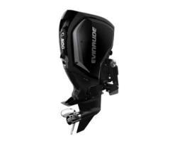
Box Contents:
GPSMAP 5008
Bail mount and knobs
GPS 17 antenna (can be flush mounted or pole mounted)
Protective front cover
Power cable
Video cable
NMEA 0183 cable
NMEA 2000 cable
Flush mount hardware
In-line fuse kit for GPS 17
Marine grommet kit
Crimp connectors
Owner’s manual
Installation instructions
Quick reference guide