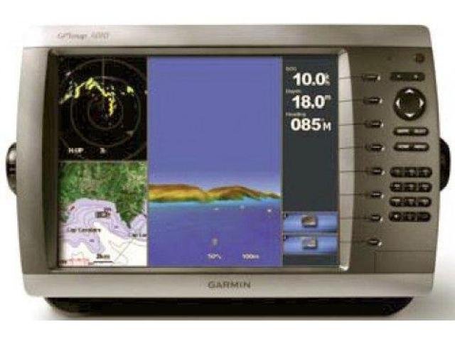
Description
BlueChart g2 Vision cards provide:
High-resolution satellite imagery when overlaid on the chart, will provide the mariner with unparalleled situational awareness
Aerial reference photography provides “real world” photos of ports, harbors, marinas, waterways, navigation landmarks and other points of interest, offering the mariner another powerful tool for navigating unfamiliar waters
Mariner’s Eye view – Provides the mariner with a 3-D perspective of chart information for a quick, reliable and easy position fix.
Fish Eye view – 3D perspective below the water line for displaying bottom contours based on bathymetric charting data
Auto guidance technology will search the attributes of all relevant charts to suggest the best course for navigation
Fishing charts, tides, currents, marine services, coastal roads and points of interest detail
Box Contents:
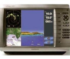
GPSMAP 4010
GPS 17x NMEA 2000
Bail mount and knobs
Protective front cover
Top and bottom snap covers
Video cable assembly
Power cable assembly
NMEA 0183 cable
NMEA 2000 drop cable
NMEA 2000 10 m backbone cable
NMEA 2000 power cable
NMEA 2000 T-connector & terminator kit
Flush mount hardware
Flush mount gasket
Marine grommet kit
Owner’s manual on disk
Quick reference guide
Installation instructions