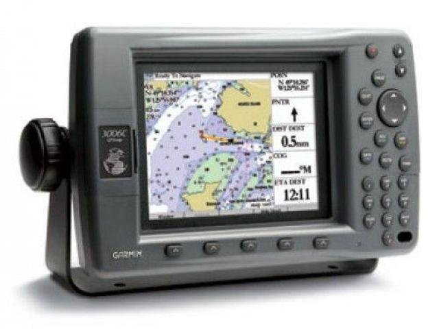
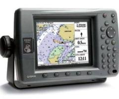
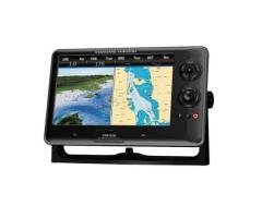
Description
GPSMAP 3006C Features:
WAAS-enabled, 12 parallel channel GPS sensor with 30 ft. cable length
High-speed RISC processor and graphics controller for fast screen redraw
Use individually or connect and control multiple displays and sensors with built-in high-speed network
View weather overlays with optional GDL 30/30A remote XM marine weather/audio satellite receiver
Add sonar with optional GSD 20 remote sounder
10.25″ W x 6.5″ H x 3.25″ D unit dimensions
Dual card slots; accepts data cards programmed with Garmin’s BlueChart cartography
6.4″-diagonal, color TFT, full VGA, sunlight-readable display
Weighs approximately 3.0 lbs.
Backlit display and keypad
Permanent user data storage; no memory battery required
Two composite video inputs for on-board cameras; 1 VGA PC monitor video output
Three data ports allow for NMEA 0183 and proprietary Garmin
Navigation voice prompts (future software update required) with optional speaker
Remote operation using optional Garmin infrared remote control
Water resistant; meets IEC 60529 IPX7 standards
Built-in worldwide basemap showing cities, interstates, coastline detail and U.S. tide stations
Compatible with Garmin’s BlueChart marine cartography and most MapSource products, including Fishing Hot Spots and MetroGuide
4000 user waypoints with name and graphic symbol; 50 reversible routes with 300 waypoints/route
10,000 point automatic track log; 15 saved tracks let you retrace your path in both directions; 700 points/saved track
Position formats include Lat/Lon, UTM, Loran TDs, Maidenhead, MGRS; and user grid
Audible alarms for anchor drag, arrival, off-course, shallow water, deep water, proximity waypoint, clock, and battery
Large-numbers option for easy viewing
Course and speed filtering
Built-in celestial tables for sun and moon calculations
Multiple languages (future software update required)Box Contains:
GPSMAP 3006C
GPS 17 WAAS-enabled sensor
A/V cable
Power/data cable
Bailmount
Unit cover